I hope this is useful, got any questions, shoot
Wish maps were clearer, I had to copy off internet, scan to my puter, all I had was Word, doctored them up in Word, print, scanned again, saved to Photobucket and here they are.
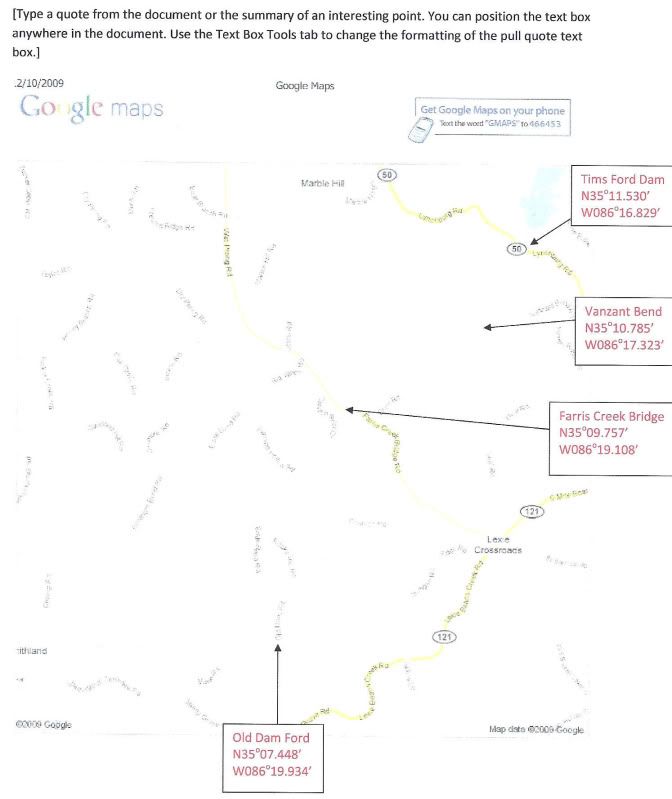
at the dam can drive to water
Vanzant Bend, around a 100 yard walk on farm road (stay on road)
Farris Creek Bridge can drive to water
Old Dam Ford can drive to water but better have a 4x4
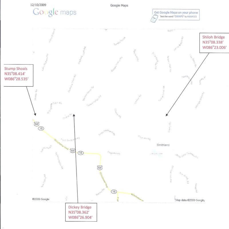
Shiloh Bridge, can drive to edge of water but water is down steep bank, canoe pole launch
Dickey Bridge, can drive to water but need a 4x4
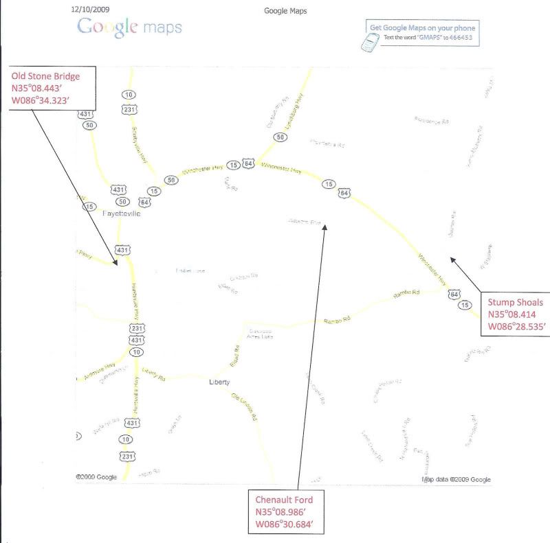
Stump Shoals, high bank, canoe poles
Chenault Ford, high bank, canoe poles
Old Stone Bridge, drive to water